

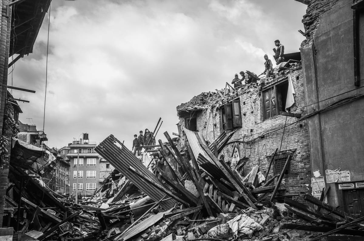
At least 616 bodies have been recovered and close to 2,500 people remain unaccounted for after flash floods tore through mountain districts along Nepal's border with China, according to NDTV's live coverage of the disaster. The count, reported on August 29 as rescue operations entered their fourth day, includes more than 300 Indian nationals.
The flood zone lies in the Bhote Koshi and Sun Koshi valleys of Rasuwa and Nuwakot districts, where days of heavy rainfall sent landslides across roads and settlements. LiveMint reported that Nepali and Chinese authorities have both intensified rescue efforts, opening routes on either side of the border.
India Today, reporting on August 26 when the toll stood at 55 dead and 100 Indians missing, said Indian Air Force relief jets had already been deployed. Within three days, the confirmed death toll rose to 616. This speed has shifted the consular arithmetic for India into urgent territory.
More than 300 Indian citizens are among the missing. The open border between India and Nepal means there is no exit stamp for the tens of thousands of Indians who cross into the border districts each week for pilgrimage, trade or work. Verifying who was where when the slides hit is slow, record-by-record work. No consolidated Government of India list of missing nationals was quoted in the NDTV live updates as of August 29.
Many of the missing were likely in the area for work on small hydropower sites, for cross-border trade in the Rasuwa-Kerung area, or for pilgrimage to Gosainkunda and other high-altitude shrines. The open border makes such movement routine; it also makes post-disaster accounting unusually difficult. Hotel registers, phone tower records and community informants become the only reliable sources when the roads themselves have disappeared.
One Basin, Two Jurisdictions
The disaster is unfolding in the Bhote Koshi–Sun Koshi catchment, which drains into the Kosi before it enters Bihar. This is not new geography for Indian flood planners. The Kosi has shaped settlement patterns in north Bihar for at least two centuries, and its embankments have failed often enough to make the term "Kosi's sorrow" part of the administrative lexicon. What happens in the high valleys of Nepal in August usually reaches the Gangetic plain within days.
There is a political reflex on the Indian side of the border that recurs after every such event. When the Kosi swells in Saharsa, Supaul or Madhepura, the instinct is to look upstream and assign blame. That framing has persisted since the first embankment schemes of the 1950s. It obscures the joint nature of the hazard. The same storm system that killed more than 600 people in Nepal will, if the monsoon front stalls, push water into Bihar. This disaster is not Nepal's problem with Indian consequences; it is one basin, two jurisdictions, and a shared failure risk.
For Indian disaster planners, the immediate lesson from the Bhote Koshi cloudburst is not about rescue. It is about warning. Himalayan flash floods of this magnitude cannot be predicted by river-level gauges alone. They require rainfall data from the narrow transboundary valleys to feed basin-wide models in near real time. India's flood forecasting agencies monitor precipitation across the Kosi basin through shared hydrological bulletins, but a cloudburst of this intensity challenges that architecture. The 616 dead are, among other things, a signal that warnings need to reach the last village before the water does.
The presence of Chinese rescue teams on the other side of the border, reported by LiveMint, adds a geopolitical dimension to this disaster. For decades, Himalayan disaster response was implicitly an Indian domain. China's infrastructure push through Tibet has changed that. A well-run Indian consular operation in Rasuwa district, alongside the Nepali authorities, is a demonstration that India's neighbourly ties remain the deepest in the catchment.
The Consular Arithmetic
India's standard practice in such crises is to move relief material fast. The IAF jets reported on August 26 fit that pattern. But the gap between early logistics and a fully staffed consular verification operation is where the next 72 hours will be felt. Families in bordering districts of Bihar and Uttar Pradesh are not watching the death count in Kathmandu; they are waiting for a phone call in Hindi or Maithili with a name on it.
Three things will now run in parallel. The first is consular: matching missing-person names from Indian families against Nepali district lists and hospital records. The second is hydrological: monitoring whether the water now moving through the Sun Koshi will arrive in Bihar as a flood wave or as a manageable surge. The third is political: whether the rescue phase opens a window for the two capitals to agree on joint funding for transboundary early-warning stations, something discussed for years but never matched to the urgency of the monsoon.
India's visible rescue role still matters. Sending relief jets is the straightforward part. The harder part is maintaining a consular presence in district headquarters like Bidur and Dunche, where local records are often paper-based and the missing list changes by the hour. Satellite-based flood mapping, if offered, would help Nepali teams target search areas. It would also reinforce India's standing as the primary first responder in the neighbourhood, a consistent theme of New Delhi's Himalayan diplomacy.
For Indian readers, the next measure of this disaster should not be the headline toll in Kathmandu but the speed at which a verified list of missing Indians is published, and the quality of the early-warning conversation that follows between Delhi and Kathmandu. The rivers that killed 616 people this week do not stop at the border. Neither should the systems that warn against them.