

The India Meteorological Department (IMD) has issued a red alert for heavy rain in Kerala and Tamil Nadu and warned of a very severe cyclonic storm expected to cross the Andhra Pradesh coast on 28 October, LiveMint reported.
As of 2330 hours IST on 24 October, the depression sat over the East Central and adjoining Southeast Bay of Bengal, moving southeastwards at 8 kmph over the previous six hours, according to the IMD. It was approximately 470 km north-northwest of Sri Vijaya Puram (Andaman Islands), 860 km east-southeast of Visakhapatnam, 950 km east-southeast of Kakinada, 1,060 km east of Machilipatnam, and 1,130 km east of Bapatla.
The IMD said the storm will likely develop "into a severe cyclonic storm over west-central Bay of Bengal around the morning of 27 October 2026," according to LiveMint.
The depression should deepen into a Deep Depression on Sunday 25 October, then recurve west-northwestwards over the Eastcentral and adjoining Southeast Bay of Bengal by the morning of 26 October. On 27 October, it is projected to strengthen into a severe cyclonic storm over the Westcentral Bay of Bengal. By the morning of 28 October, it should reach the Westcentral Bay of Bengal near the Andhra Pradesh coast as a very severe cyclonic storm, the department said.
The system is then expected to cross the Andhra Pradesh and Yanam coasts between Bapatla and Visakhapatnam by the forenoon of 28 October, the IMD warned.
The recurvature matters. A depression moving southeastwards on 24 October is expected to bend west-northwestwards, a shift that depends on steering winds over the central Bay of Bengal. The IMD has updated its track every few hours to flag this uncertainty. For coastal Andhra Pradesh, that means the difference between a landfall near Bapatla in the south and Visakhapatnam in the north, a spread of several hundred kilometres that determines which districts evacuate first.
Heavy rain extends well beyond the storm's core
The red alert for Kerala and Tamil Nadu signals a second hazard: heavy rain far from the cyclone's centre. The northeast monsoon has already set in over Tamil Nadu, Puducherry and Karaikal, Coastal Andhra Pradesh, Rayalaseema, South Interior Karnataka, and Kerala and Mahe, reported LiveMint. On 21 October, four Tamil Nadu districts shut schools after the IMD placed Chennai, Thiruvallur, Chengalpattu, and other districts under an orange alert for very heavy rainfall, LiveMint reported.
State disaster authorities in Kerala and Tamil Nadu have been placing teams in vulnerable districts since the first orange alerts. In Tamil Nadu, school closures in four districts on 21 October showed that the administration treats the forecast as a matter of public safety rather than routine monsoon weather. Similar decisions in Kerala are likely as the red alert takes effect, particularly in hill districts where sloped terrain and saturated soil raise the risk of landslides.
The danger from heavy rain is not limited to the immediate coastline. In urban centres, drainage systems built for ordinary monsoon volumes become bottlenecks when intense rainfall arrives. Chennai's experience with waterlogging during the northeast monsoon has made district administrations quicker to close schools, move residents from low-lying areas, and stage pumps. Kochi faces the same problem: high tide plus heavy rain can back up storm-water outfalls, leaving neighbourhoods inundated even without a direct cyclone hit.
For Kerala and Tamil Nadu, the red alert requires hospitals to be stocked, generators fuelled, and public transport schedules flexible. The same coastal geography that makes these states vulnerable to monsoon flooding also gives them experience in managing it, but no amount of experience eliminates the need for early decisions.
Coastal districts, ports, and standing crops
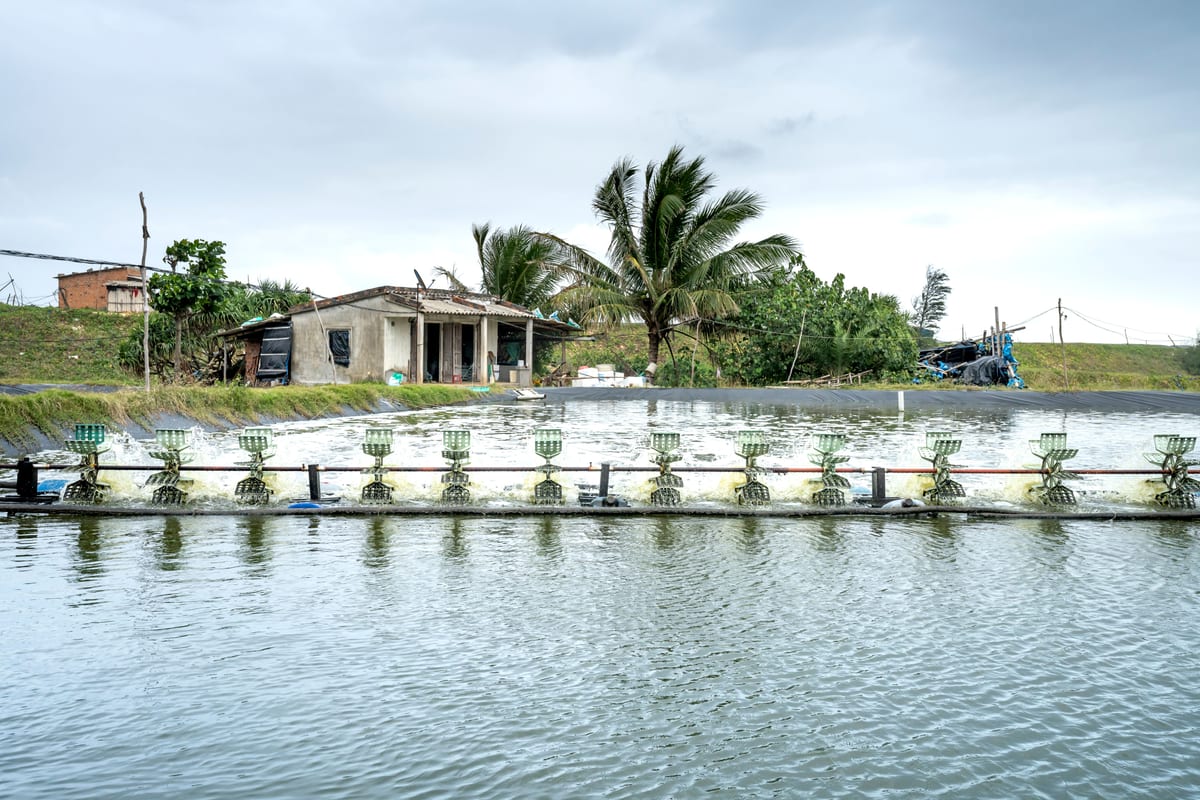
The stretch between Bapatla and Visakhapatnam includes aquaculture ponds, paddy fields, coconut groves, and port infrastructure. A very severe cyclonic storm crossing in the forenoon means the worst winds and storm surge arrive during daylight hours, which helps evacuation but leaves little room for last-minute preparations. District administrations must move people from low-lying villages to cyclone shelters by the evening of 27 October, before the storm's approach makes transport too hazardous.
Ports in Visakhapatnam and Kakinada, both in the projected impact zone, face disruption. Even if the cyclone centre passes south or north of a given port, the associated storm surge and heavy rain can halt berthing, slow road and rail movement, and damage power lines. For a state where aquaculture and horticulture have become major export earners, a direct hit would affect cold chains and rural incomes in the weeks after the weather clears.
Disruption at Visakhapatnam and Kakinada ports would affect Andhra Pradesh and beyond. The Visakhapatnam-Chennai industrial corridor depends on timely movement of coal, fertiliser, and containerised goods. A port closure of even a few days can push up demurrage costs and delay shipments for exporters across southern India. The IMD's warning gives port operators time to suspend cargo operations and move vessels to safer anchorages, which reduces the economic impact of a cyclone.
The warning system that has learned from past storms
India's cyclone early-warning system has improved enough that a storm like this no longer produces the casualty counts of earlier decades. Satellite observations, Doppler radar along the coast, and automated weather stations feed the IMD's track forecasts, which are updated every few hours. State disaster management authorities use those updates to shift boats, open shelters, and move vulnerable populations. That coordination is the product of decades of investment in coastal resilience, and it is what turns a severe weather event into a manageable disaster.
The institutional chain from the IMD to district collectors is short in India's federal structure. That matters when landfall is only three days away. The forecast of recurvature over the Bay of Bengal introduces uncertainty about the exact crossing point; coastal residents from Bapatla to Visakhapatnam must prepare for the possibility that the centre tracks slightly north or south. The red alert for Kerala and Tamil Nadu, several hundred kilometres away from the probable landfall, shows why storm preparation cannot be confined to one state. Heavy rain in the Western Ghats can trigger landslides and urban flooding in Kochi, Chennai, and smaller towns even if the cyclone itself stays offshore.
India's national weather agency coordinates a warning chain that runs from New Delhi to state capitals to districts. In a federal system, that chain works only when state governments act on the centre's forecasts. Kerala, Tamil Nadu, and Andhra Pradesh have all built state disaster management authorities in the years since the Indian Ocean tsunami. Those bodies now coordinate with the National Disaster Response Force to pre-position teams and supplies. The red alert is the formal trigger for that machinery to move from monitoring to response.
The stretch of coast between Bapatla and Visakhapatnam also illustrates why structural adaptation matters. Mangrove belts can absorb some of the storm surge before it reaches villages. Better storm-water drainage can reduce the flooding that follows a cyclone's rain bands. Climate-resilient housing, built to withstand high winds, can lower the number of homes that need to be rebuilt after every major storm. These are not emergency responses but the slow work that determines whether the next cyclone is a disaster or a managed event.
The next three days will test preparation more than prediction. The IMD has already published the storm's track and landfall window and issued its alerts. What remains is the movement of people, boats, and supplies before the winds arrive. Indian coastal districts have learned that lesson before and will apply it again.